Milk River Basin and History
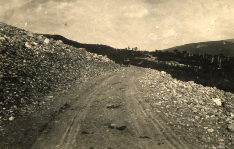
The late 1800s
Project Investigations

Investigations began to create a project to divert water from the St. Mary River into the Milk River.
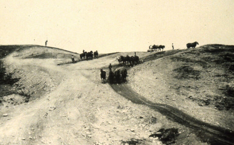
Before 1906
Pre-St. Mary Project

35,000 irrigated acres existed in privately owned canals around the City of Chinook and Harlem.  There was also a system on the Ft. Belknap Indian Reservation.
June 17, 1902
U.S. Bureau of Reclamation was Formed
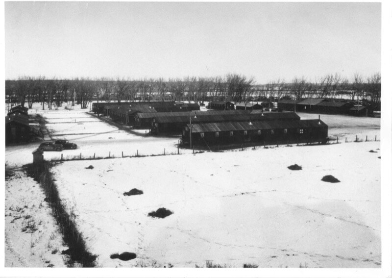
The U.S. Bureau of Reclamation was created shortly after President Theodore Roosevelt signed the Reclamation Act on June 17, 1902. The law was meant to address water scarcity and lack of settlement in far western states by improving water storage and transmission systems for irrigation projects.

Learn More

July 8, 1902
St. Mary Project Initial Plans

Initial Plans for the Milk River Project were prepared by the U.S. Reclamation Service and submitted for approval to the Secretary of Interior.

January 1911
US Boundary Water Treaty
The Boundary Waters Treaty was signed by the Canadian and American Governments in Washington, D.C. Article IV of the treaty stipulates that the St Mary and Milk River and their tributaries were to be treated as one stream for the purpose of irrigation, and that their waters should be apportioned equally between the two countries. This document is called the 1909 Boundary Water Treaty.

Learn More

1939
Fresno Dam and Reservoir

Fresno Dam, located on the Milk River 14 miles west of Havre, Montana, is a compacted earthfill dam with a structural height of 110 feet and a crest length of 2,070 feet.
1959
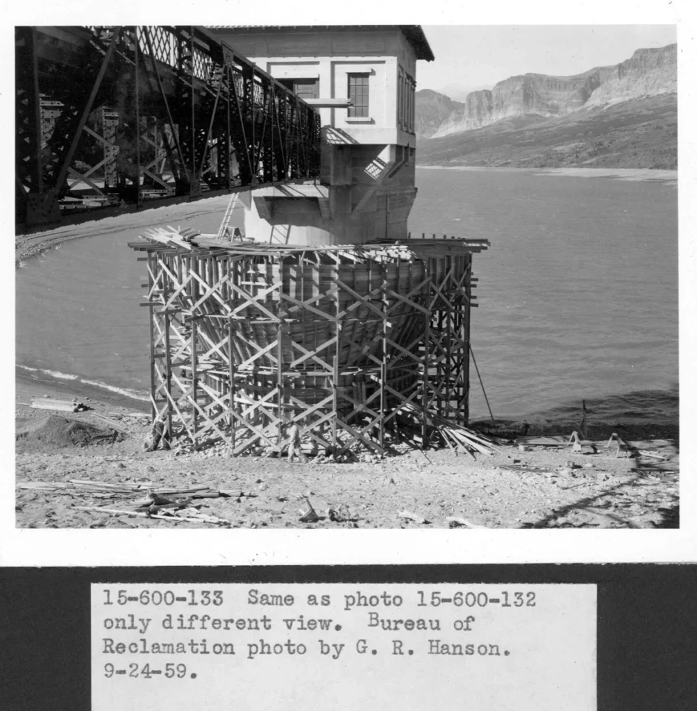
Lake Sherburne Intake Tower Modifications

The intake tower structure was modified by adding a circumferential overflow spillway crest, and the weir-type overflow spillway at the left abutment of the dam was filled with compacted earth material extending the crest of the dam to the left abutment.

1982
Lake Sherburne Dam Raise

The dam embankment was raised to crest elevation 4814.5 using the reinforced earth concept to provide additional surcharge space to safely pass the inflow design flood.

2001
Ft. Belknap Compact Passed State of Montana Legislature
2003
Dodson Dam Bladder Addition

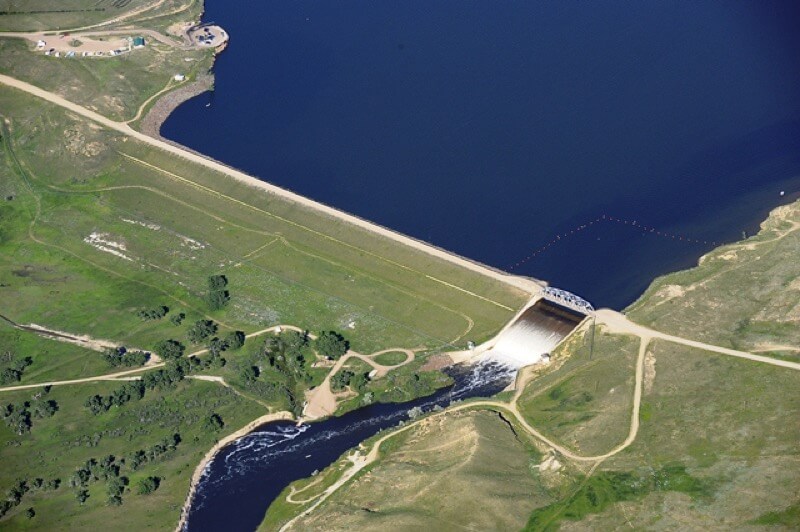
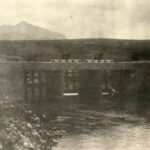
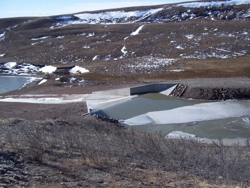
The Dodson Diversion Dam, on Milk River 5 miles west of Dodson, Montana, is a timber crib, weir-type structure with movable crest gates. The structural height is 26 feet; the crest length is 8,154 feet. In 2003, to capture spring runoff a air bladder was added to the dam to divert water to Nelson Reservoir.
2009
Blackfeet Compact Passed State of Montana Legislature
2017
Drop 4 Collaboration Project

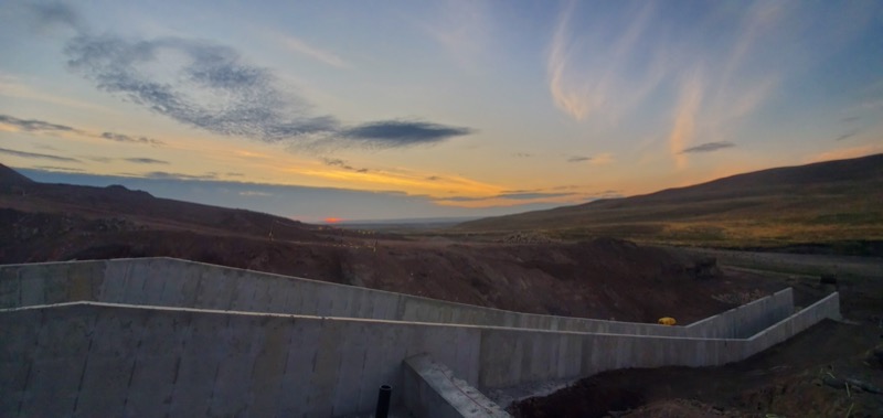
The Milk River Joint Board of Control and Bureau of Reclamation entered into a collaboration project to use Joint Board staff to complete the repairs to Drop 4.  This project was lead by the Joint Board and supervised by Reclamation.  The project was extremely successful and has set the groundwork for future collaboration efforts. 
April 20, 2017
Blackfeet Compact Signed
September 4, 2020
Alliance of Wild Rockies Files Action Under Endangered Species Act
2020
St. Mary Drop 5 Failure
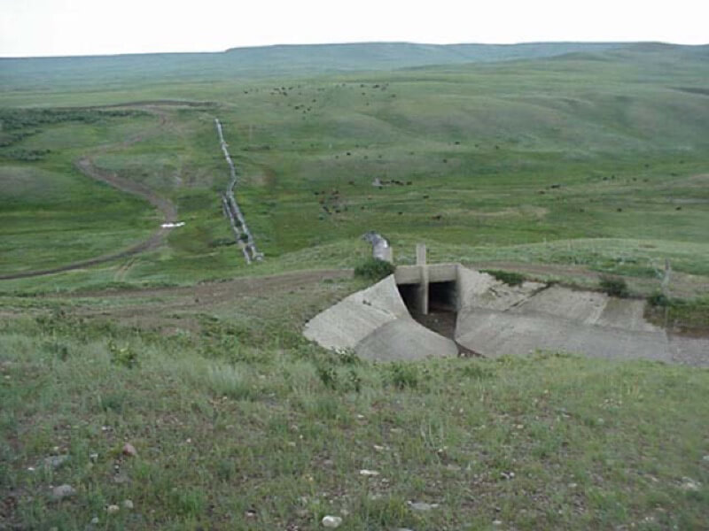
In May of 2020 the St. Mary Drop 5 structure collapsed leaving the Milk River Project without water.  In this project Drop 2 and Drop 5 were replaced and Drop 1 was resurfaced.  This project was extremely successful and water was flowing back in the Milk River in 22 weeks with the credit to the amazing partners.

See Project

2022
Bipartisan Infrastructure Law Passes
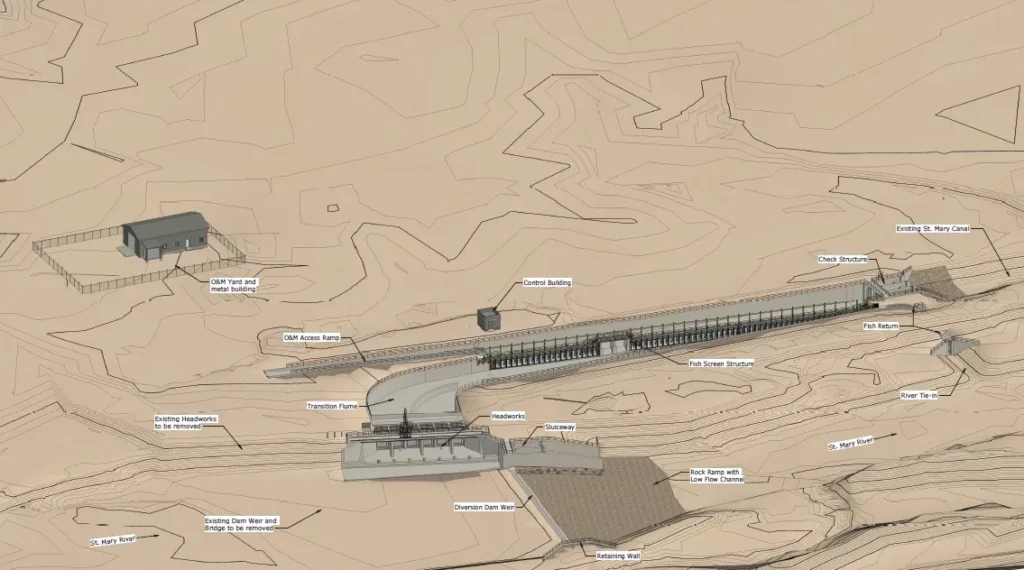
Through the Biden Infrastructure Bill, the St. Mary Project receives $100 million in funding. The majority of the project will be used to replace the Diversion Dam and add fish-friendly features for the Bull Trout passage.

See Project

2023
St. Mary & Halls Coulee Siphon Engineering
A collaboration project with Bureau of Reclamation and the Milk River Joint Board of Control was kicked off in January to engineer the replacement of the St. Mary & Halls Coulee Siphons.

See Project